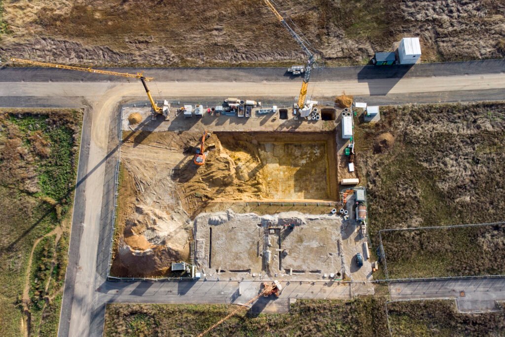
Construction Project Progress
If you need video or photo of the progress of your construction progress, we can provide footage from the same locations in the sky whether daily, weekly, or monthly. Augusta Drone can customize the schedule according to your needs. Once we program where you want the photos or videos taken from, we can return to the same coordinates every time so that your footage is shot from the exact same angle and heading every time. This makes it easy to see the progress from the same perspective over and over.
Photogrammetry
Photogrammetry is a fascinating field that involves the science of making measurements from photographs. By analyzing images captured from different angles, photogrammetry enables the creation of accurate 3D models, maps, and measurements of objects or landscapes. It utilizes principles of geometry, optics, and computer vision to reconstruct the shape and scale of objects, even entire landscapes, from a series of overlapping photographs.
The importance of photogrammetry spans various industries and applications. In urban planning and architecture, it aids in creating detailed 3D models of buildings and cityscapes, facilitating the design process and visualizing proposed developments. In archaeology, photogrammetry helps in documenting and preserving historical sites and artifacts with precision, allowing researchers to study and analyze them remotely. Moreover, in fields like forestry and agriculture, it assists in monitoring land use, vegetation, and terrain changes over time, supporting sustainable resource management practices. Overall, photogrammetry serves as a powerful tool for capturing, analyzing, and understanding our physical environment, driving advancements in fields ranging from engineering to environmental conservation.
With the use of our drone fleet and software, we can provide accurate 3D models for your needs. Contact Augusta Drone today for a quote.